Contact
Email
aarambhsurveying@gmail.com
aarambhsurveying@gmail.com


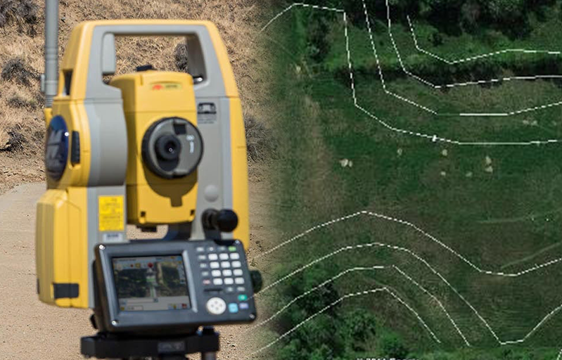
For precise and reliable contour survey services in Raipur, Chhattisgarh, Aarambh Land Surveying and Engineering is your top choice.
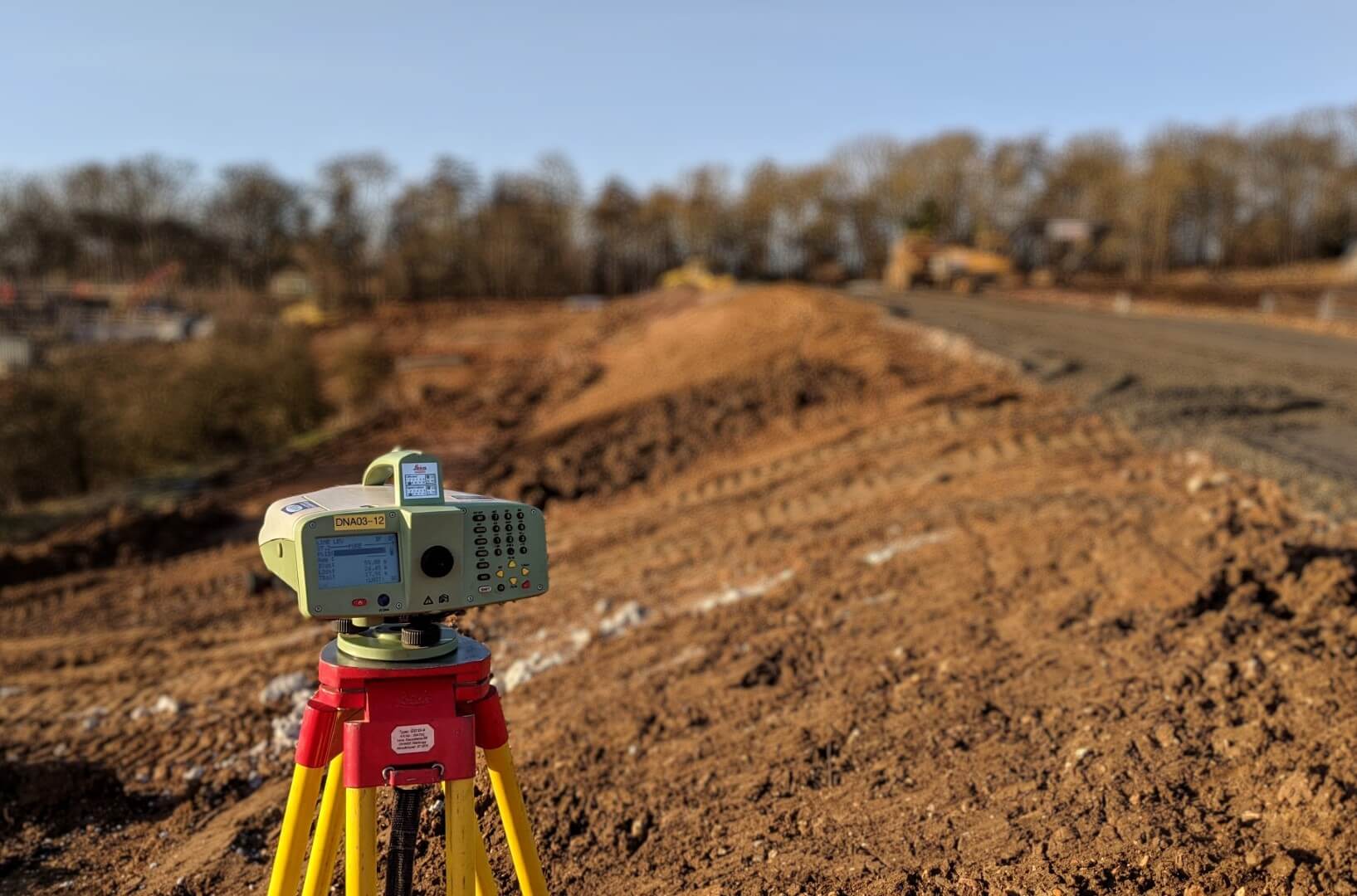
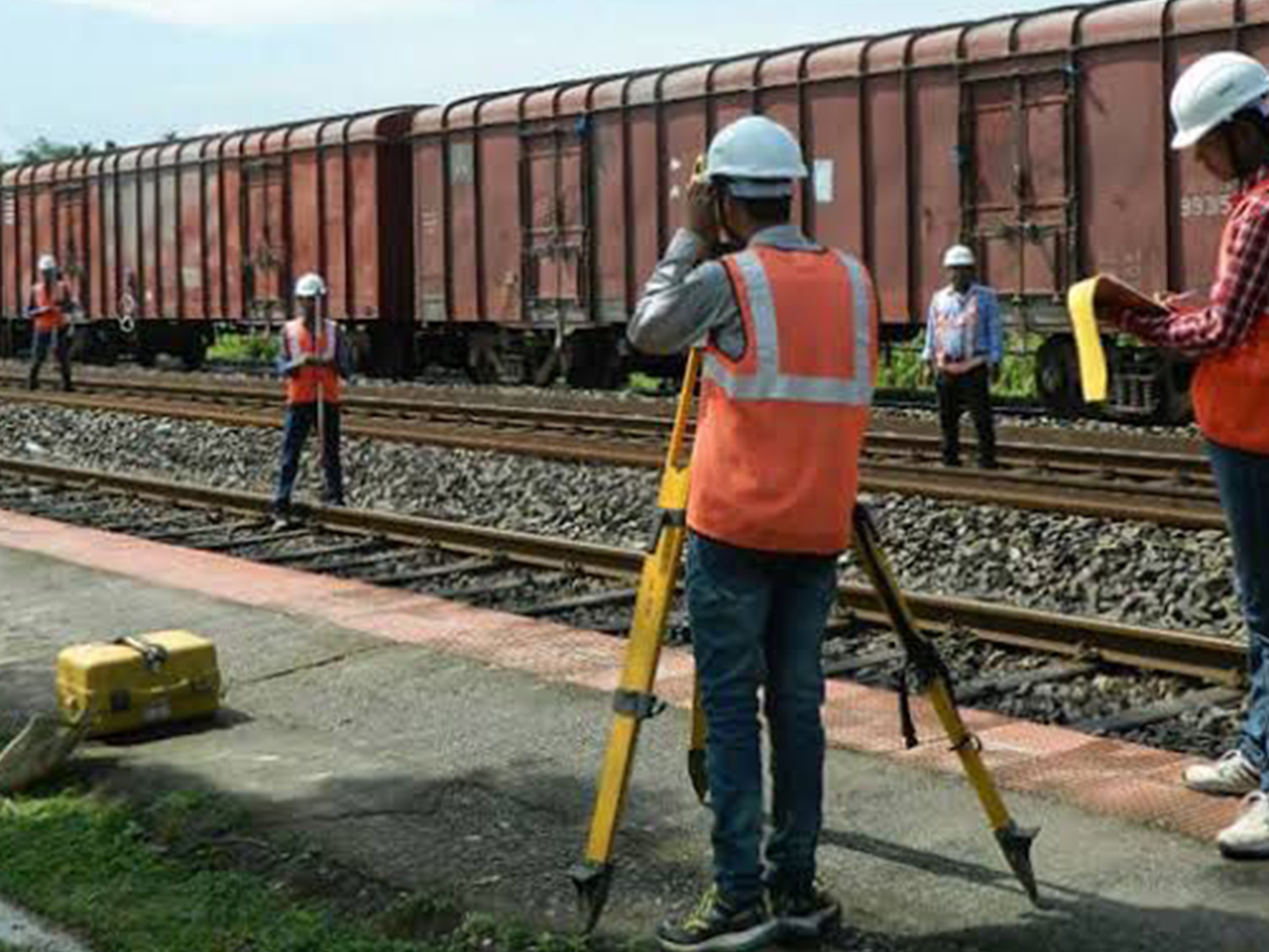
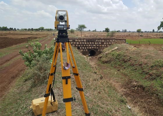
Aarambh Land Surveying and Engineering provides top-tier land survey services in Raipur, Chhattisgarh, utilizing cutting-edge Total Station and DGPS.
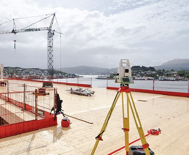
Aarambh Land Surveying and Engineering offers premier construction survey services in Raipur, Chhattisgarh, utilizing state-of-the-art Total Station.
Aarambh Land Surveying and Engineering offers specialized Vastu survey services in Raipur, Chhattisgarh, combining advanced technology.
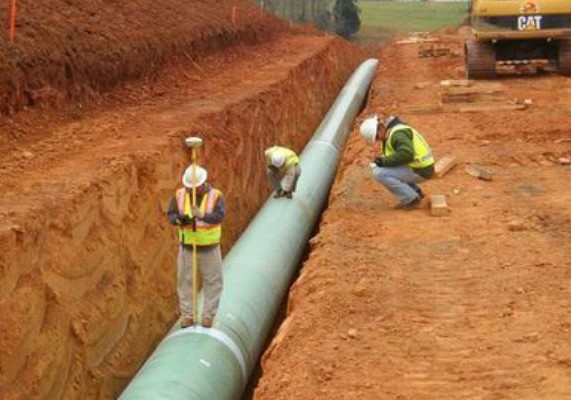
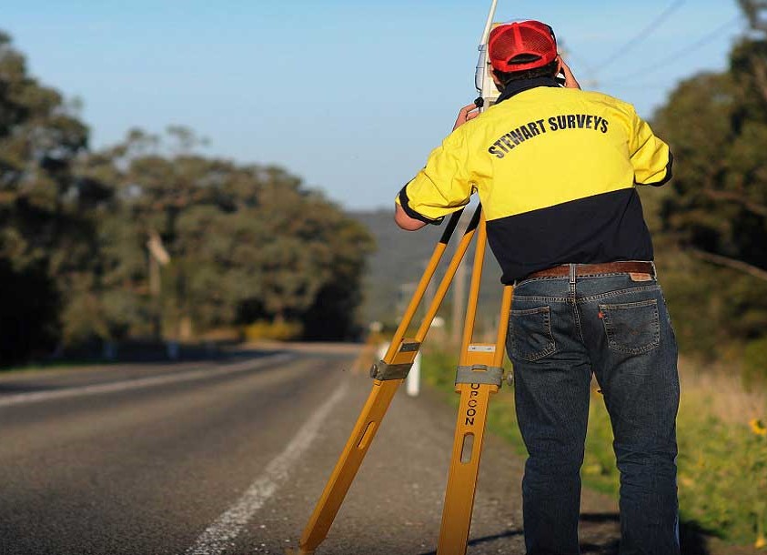
Aarambh Land Surveying and Engineering offers expert road survey services in Raipur, Chhattisgarh. We utilize state-of-the-art Total Station.


Precision drafting and design for accurate project planning.
Creating detailed graphics and layouts for survey presentations.
Efficient documentation, reporting, and data management tools.
Seamless map plotting for clear and scalable survey outputs.

Advanced 3D modeling for civil engineering and infrastructure projects.
Reliable software for geodetic and datum-related calculations.
Comprehensive spatial analysis and georeferenced mapping solutions.
Proficient in additional tools to ensure complete project accuracy.
Lorem very carrots enhanced. Blandit antioxidants ullamcorper alcohol. Is at sapien old or put up
Lorem very carrots enhanced. Blandit antioxidants ullamcorper alcohol. Is at sapien old or put up
Lorem very carrots enhanced. Blandit antioxidants ullamcorper alcohol. Is at sapien old or put up
Lorem very carrots enhanced. Blandit antioxidants ullamcorper alcohol. Is at sapien old or put up
Lorem very carrots enhanced. Blandit ultricies antioxidants ullamcorper alcohol. Is at sapien old or put up arrows. Feugiat mauris throat lion is neither now

Land surveying is the process of measuring and mapping land features using specialized tools and techniques.
A land survey helps determine property boundaries, resolve disputes, and ensure legal compliance before construction or transactions.
The cost varies depending on size, location, and complexity but typically ranges from a few hundred to several thousand dollars.
As a leading land surveying agency in Raipur, we excel in accurately measuring and mapping land boundaries and topographical features. Our goal is to ensure the success of your project through our expert measurement solutions.